
Introduction
‘Novelties attract us, only when they are dead and incapable of arousing vital current’
In the times we live in, the city means a lot more then what a conventional definitions / meanings that a dictionary can offer us. It has become an idea for inhabitation which has seen no precedent in the history for what it stands for today.
Today, a city is a model of our evolution, of a kind of complexity of various forces merging with one another for the sustainability of the either. It has become an embodiment of survival and an achievement of events, but on another level, it is also a physical laboratory, a place for experiments and a testing ground for new ideas.

Hence to initiate these experiments and to explore our future, it becomes imperative for us to critically observe the city for what it is and hear what it has to say.
Events related to evolution of urbanity and stake holding in the physical form of the city is an interesting dynamic one has to observe while engaging with the city. This inter-dependency is constantly influencing the urban form, especially in tier-II cities like Nashik.
Inclusion of the public realm plays a pivotal role in behavioral organization of the city. The physical-functional existence and the notional meanings of such public spaces offer the most potent catalyst for the evolution of the urban fabric.
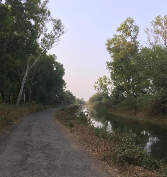
A case of Nasik; where a river acts as a geographic / topographic separation, but simultaneously offers a wonderful socio-cultural bridge, presents the unique opportunity in the form of right and left canals to explore alternative narratives for public domain in the city.
The Gangapur dam situated to the western edge of the city of the Nashik has always been one of the primary sources of water from the days when Nasik was a small agrarian town thru the 1970 when industrial developments offered a different direction to the growth of Nashik.
The right (south) and left (north) canals were the overflow mechanisms for the dam and proved pivotal irrigation system for the agrarian community in the region. The canals were ingrained in the socio-cultural framework and physical form of the then agrarian society. These two canals, running continuous and almost parallel to river Godavari, cross the city offering a secondary spine structure to Nashik.
The development of Satpur-Ambad industrial belt exerted different developmental pressures on the area surrounding the right canal. Once a lifeline of the agrarian system, the right canal outlived its purpose shortly in the growing densities and mutating land use patterns and posed itself as a liability.
‘What pleased the eyes for so many years is gone.’’ Urban forces, would soon invade this cultural territory, and become a repository of the outmoded and the historically superseded. And this metaphor of water, would vanish.
Over the years the stakeholders of these canals change from the irrigation department to local municipality to forest department, sometimes keeping the final accountability in a grey zone.
The right canal has been reclaimed for most of its length and contains a subterranean arterial structure of pipelines whereas the ground plane hosts irregular patches of green public spaces, empty land parcels, vehicular roads and wherever ownership is not stated; informal / illegal housing has consumed the most part of it.
This can be observed as a crucial event in the life of a city. Potentially, it has long lasting implications by means of offering multiple opportunities for its integration into deeper tissue of the urban settlement.
The physical continuity of this reclaimed land in public domain, running through the city presents a unique opportunity to re-interpret the existing narrative (socio-cultural and economic) of once relevant irrigation canals and to investigate the role this continuous stretch of public land can play in exploring future identities for Nashik.
Studio Intent
This studio aims at identifying different urban design strategies for the city to ‘claim’ this reclaimed land in the public domain and utilize their inherent characters for the seamless engagement of the society and the infrastructure in Nashik. Also it will be important to treat this enquiry as a testing ground for these strategies to be demonstrated in the form of design proposals at macro and micro scales at crucial nodes / stretches.
5 such nodes / stretches are identified which offer diversity in the form of socio-cultural context, immediate economic dynamic, land use, edge conditions, infrastructural framework, demographic data and potential for future growth.
Stage 1: To observe, analyze and document the length of right canal from the west to east edge of the city
Stage 2: To propose a grand vision for the integration of this reclaimed land into physical and notional future of the city
Stage 3: To demonstrate in detail the bespoke manifestation of the grand vision onto identified nodes / stretches in order to create larger identity
Node 1: Canal Road- Off pipeline road.
Node 2: Krushinagar to Emerald Park
Node 3: Emerald Park to Nasardi crossing
Node 4: Indira nagar Highway underpass
Node 5: Wadala Road Junction near Ashoka Hospital
(Note: The above brief has been formulated by Archis Kulkarni and members of Team Nashik)
Collaboration Teams
| Team Nashik | Team PiCA | Team Rizvi |
|---|---|---|
| Archis Kulkarni (Coordinator) | Richa Sharma (Coordinator) | Jai Bhadgaonkar (Coordinator) |
| Rahul Dabir | Madhavi Patil | Ritu Mohanty |
| Shantanu Autade | Sanghamitra Barthakur | |
| Rohit Fegde | Nishant Modi | |
| Raunak Dodhecha | ||
| Hemant Pawar |
Outstation Work- Overview
| Date | Plan of Action | Outcomes |
|---|---|---|
| 8th December, 2018 | 10:30 a.m. - Team Pica and Rizvi arrives in Nashik | |
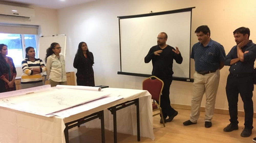
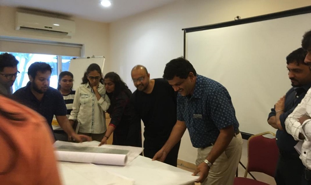
| Introduction to the Nashik and the Studio - Presentation by Team Nashik | - Students were able to understand the forces that led to the shaping of the city through a comprehensive presentation on its evolution | |
| Tea Break | ||
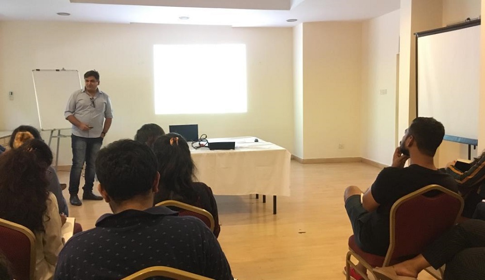
| Understanding of Nashik from secondary sources - Presentation by Team Pica and Rizvi | Students were able to verify their secondary data and identify gaps in their study. | |
| Lunch Break | ||
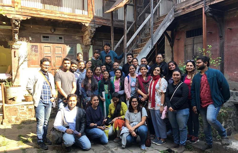
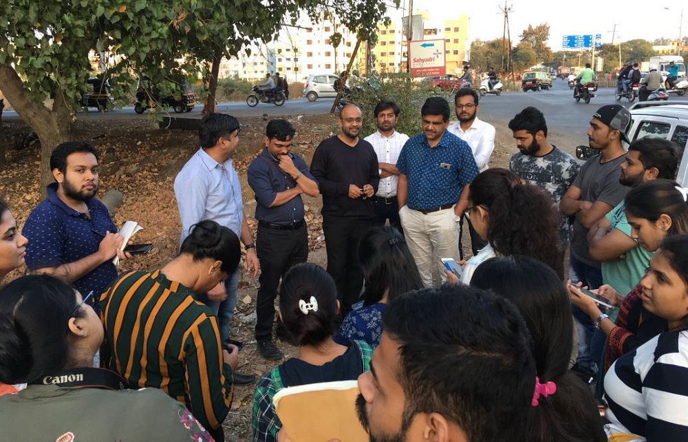
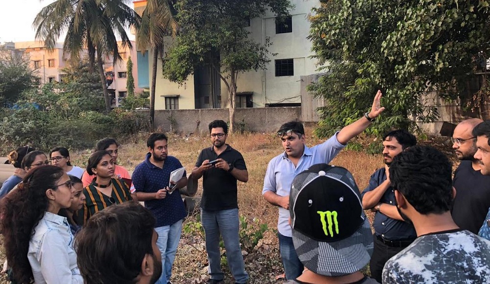
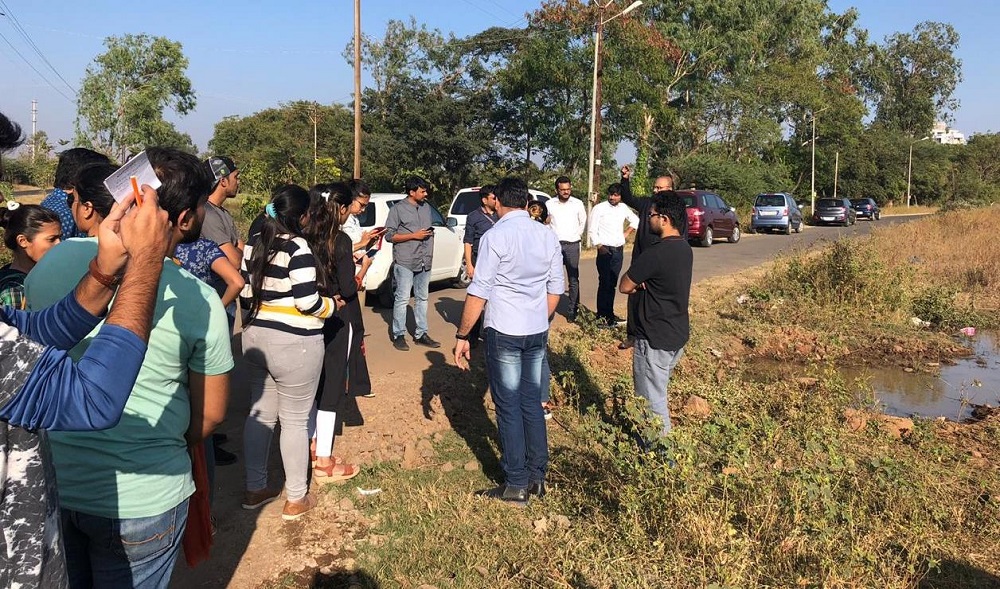
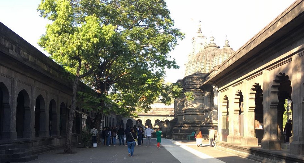
| Pilot tour of the probable sites along the canal | Students were able to witness the current scenario along the right canal and explore the contextual circumstances that led to its state | |
| Tea Break | ||
| Discussion on site observations, understanding and critical questions | Students were able to verify their understanding and clarify their doubts | |
| Dinner | ||
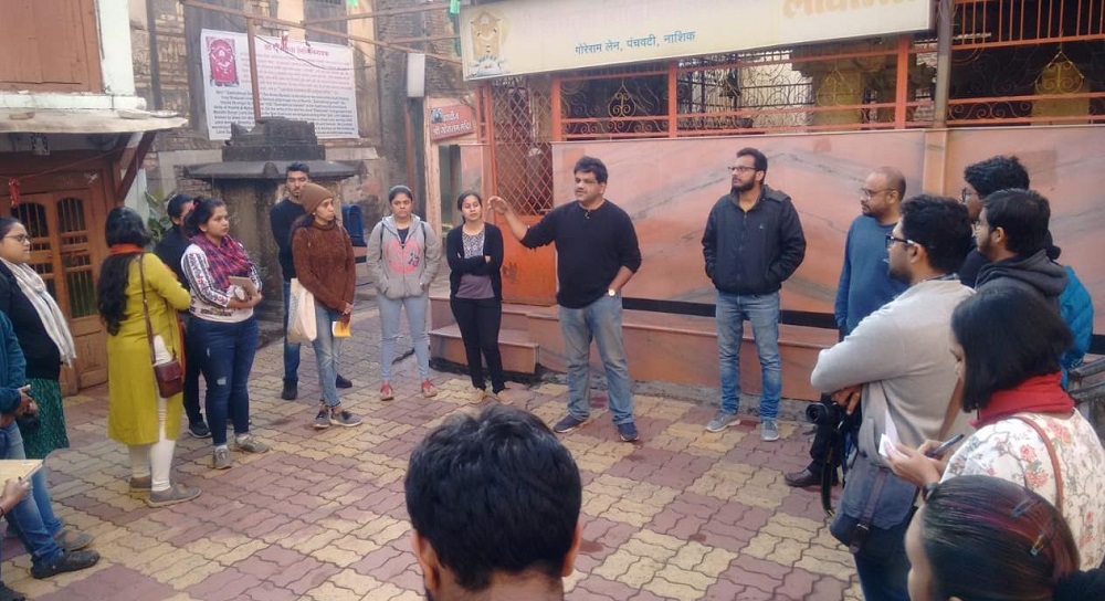
| 9th December, 2018 | A walk into the core city An exhaustive session of elaborate explanation of the core city by Architect Rahul Dabir | Students were able to understand: - The evolution of the city and the determinants of form and space - The association of the City with the River |
| Lunch Break | ||
| Understanding the city in various segments through primary surveys - Segment allocation in mixed group of students from Pica and Rizvi | - Students were able to draw an image of the overall city by collective understanding of smaller segments | |
| Tea Break | ||
| Groupwise discussion of the experience, observation, understanding and perceived image of the allotted segments in relation to Nashik Allotting site documentation work in terms of 5 broad aspects: Ecology, Infrastructure, Built form and Density, Economy and Public Realm | - Students were able to put together the different aspects that constitute to the image of the city and clarifying the misconception of Nashik bearing only a religious image. | |
| 7:00 pm- Team Pica and Rizvi departs for Mumbai | ||
| 13th December, 2018 | 7:30 pm- Members of Team Pica (Madhavi Patil, Sanghamitra Barthakur and Nishant Modi) arrives in Nashik | |
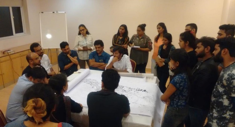
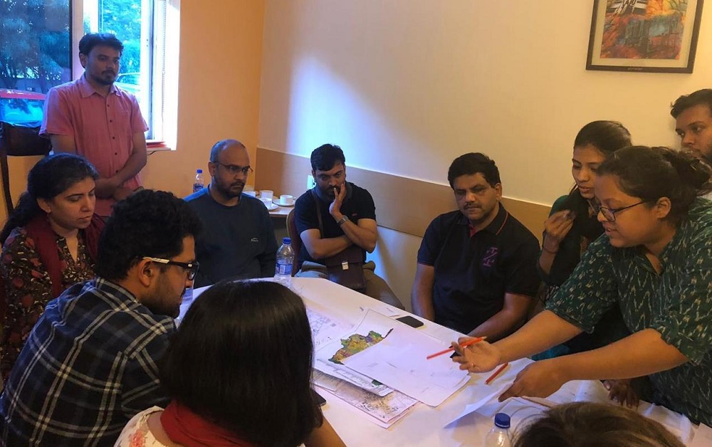
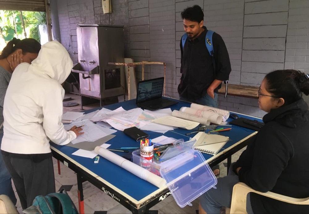
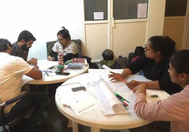
| 14th December, 2018 | Engaging with students in allotted groups to assimilate and collate primary data collected from the site. | - Students were able to organise the site information and construct a framework of approach for each aspect |
| Lunch Break | ||
| Visit to the Left Canal by Team Pica | - To be able to understand and acknowledge the environ that exist and draw references of similar context that might have existed along the right canal - To be able to visualise the phases of transformation of the right canal |
|
| Tea Break | ||
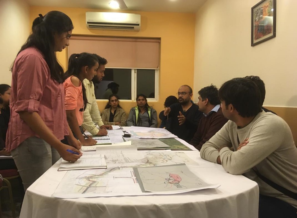
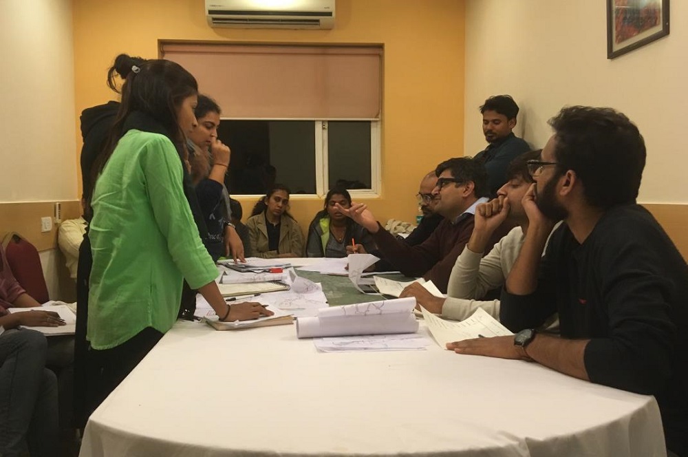
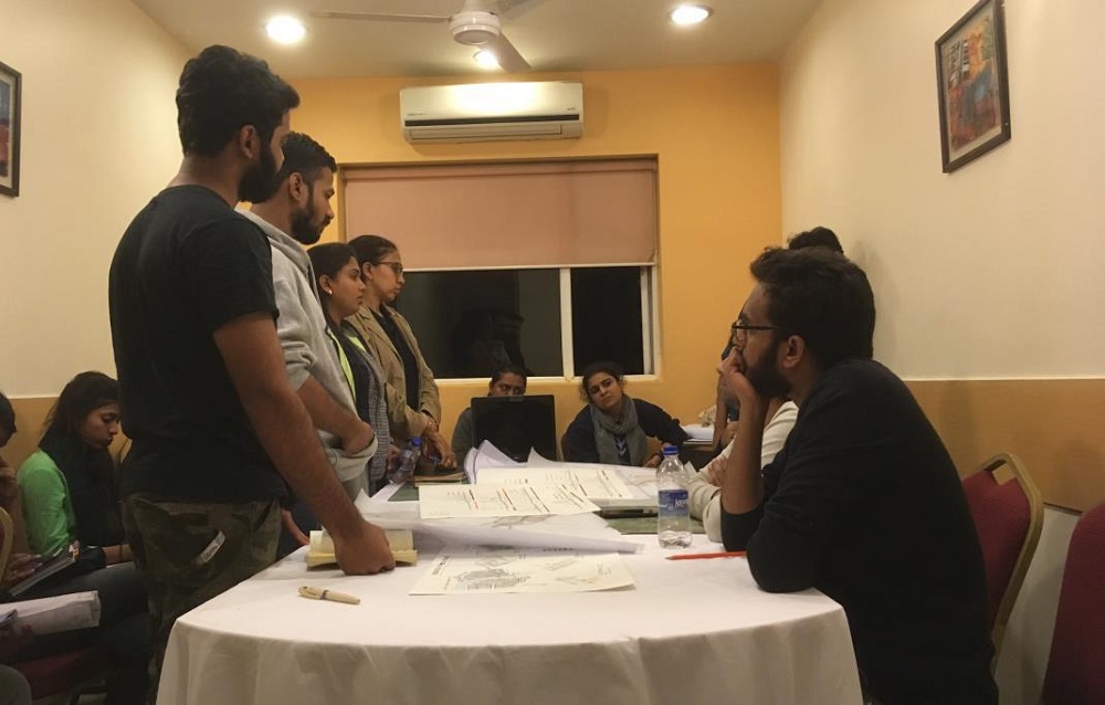
| Discussion with students in terms of appropriate representation techniques and structure of presentation | Students were exposed to different methods that can be used for urban design representation based on collected data. | |
| Dinner | ||
| 15th December, 2018 | Preparation for the final presentation | |
| Lunch Break | ||
| Compilation of the data by students of Pica and Rizvi for the final presentation | ||
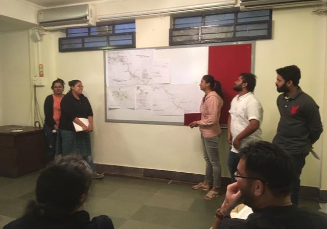
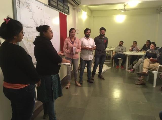
| Group wise presentation on all the five aspects by students of Pica and Rizvi | Students were able to enlist the components of each aspect relevant to the city of Nashik. | |
| Dinner | ||
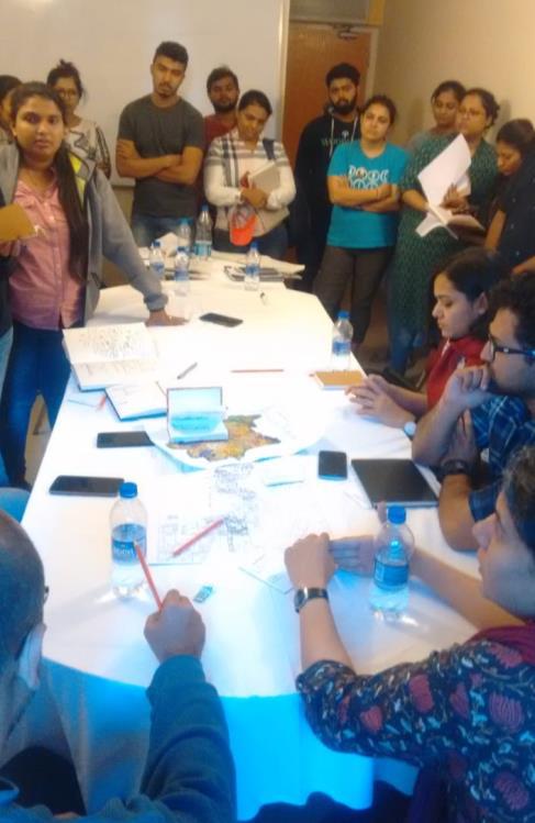
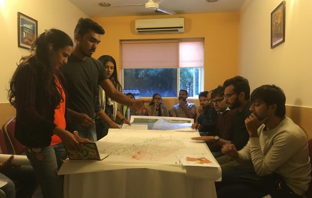
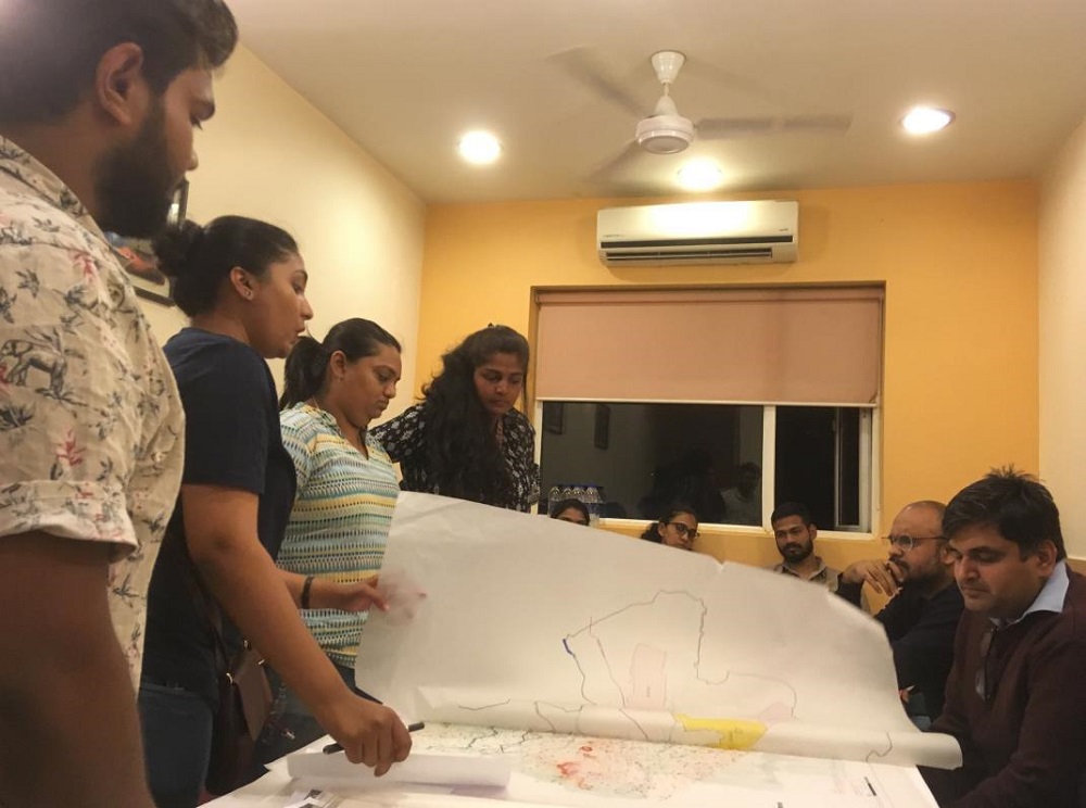
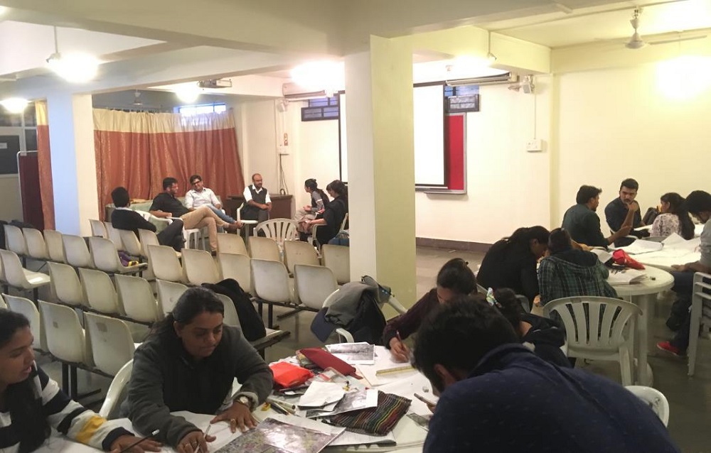
| 16th December, 2018 | An esquisse exercise designed by Team Nashik for a prompt response towards the overall contextual understanding and a conceptual ideation of the envisioned project. - Three teams were formed where each team consisted of one member from every aspect - Students of Pica formed two groups having five students in each and students of Rizvi formed one group of four students | Students were able to culminate the seven day on site study into preliminary design ideas so as to trigger discussion and debate and henceforth gives a way ahead. The formation of groups with a member from each aspect would allow students to have a holistic approach and a premise for better acknowledgement and integration of the context |
| Lunch | ||
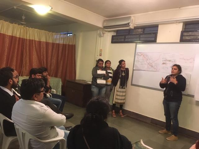
| Presentation of the three groups | The presentation of the teams focused on the opportunities that the canal can offer with respect to the needs of the city. The presentation of teams concluded by arriving at the two themes namely, Ecology and Identity. | |
| End of Outstation Studio | ||